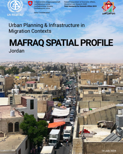
Mafraq Spatial Profile

Jordan has become the second-largest refugee host per capita worldwide, leading to rapid population growth and urbanization. This has strained the country's infrastructure, economy, and services. In response, UN-Habitat and SECO launched the “Urban Planning & Infrastructure in Migration Contexts Programme” to improve access to services and socio-economic opportunities for vulnerable people in Amman, Irbid, and Mafraq. Comprehensive spatial profiles were developed for these cities, based on a spatially focused cross-sectoral situational analysis that provides a comprehensive spatial understanding of the existing situation as a basis for decision-making, urban development strategies, and infrastructure investment planning.
Using a hierarchical scalar approach, the Mafarq Spatial Profile identified and mapped challenges, provisions, and gaps in public infrastructure services in coordination with humanitarian interventions at the national, regional, and city levels. At the national level, Jordan faces significant issues in public transport, affordable housing, and severe water scarcity. In Mafraq Governorate, located at strategic international road junctions, migration has driven population growth, with the Governorate hosting the world's largest Syrian refugee camp and struggling with infrastructure challenges. Greater Mafraq Municipality has a high refugee population, increasing demographic dependency and financial strain, with revenue decreasing despite population growth.
The Mafraq Spatial Profile provides evidence-based recommendations for action across national, regional, and local levels, with a focus on vulnerable groups. These recommendations are aligned with the Sustainable Development Goals and the Global Urban Monitoring Framework, and support the implementation of the Jordan National Urban Policy (JNUP). Based on a comprehensive analysis and stakeholder consultations, Al Hussein neighbourhood was selected for detailed scenario planning.


